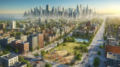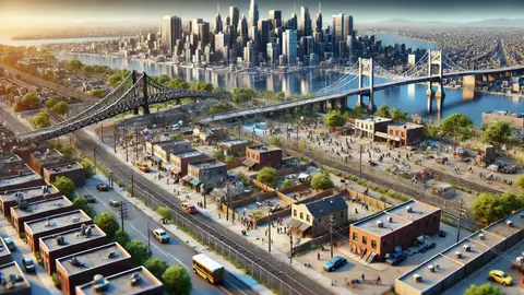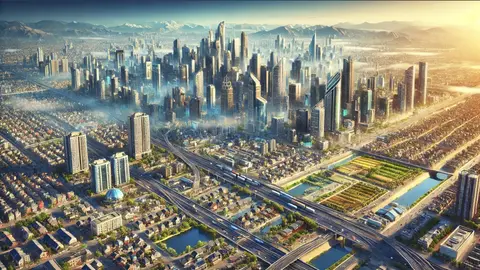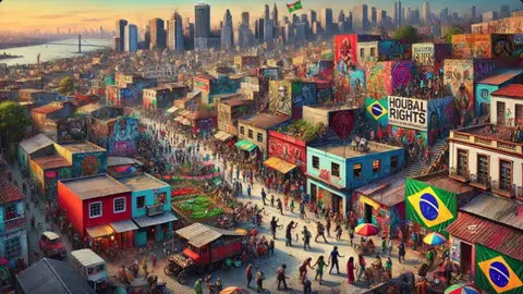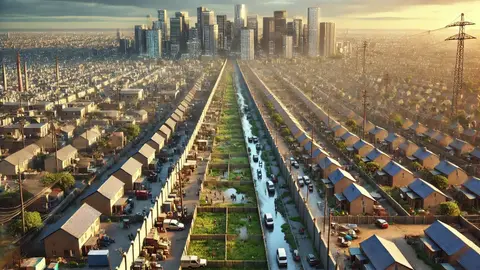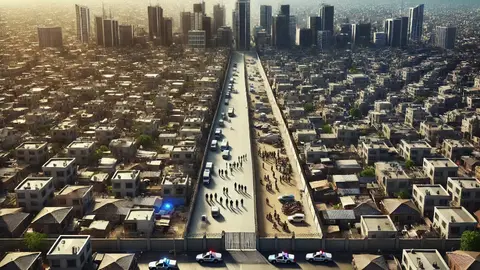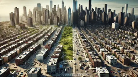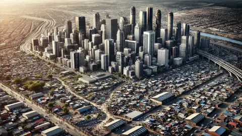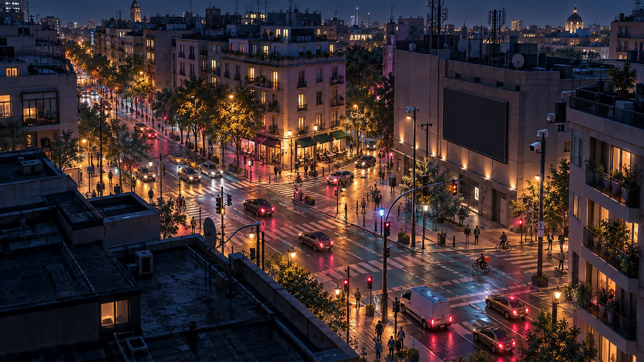
Spatial justice is the idea that where you live decides much of what you can become, and that this distribution is not natural but produced: by the land market, by public policy, by discrimination and by planning decisions that share out unequally schools, parks, transport, clean air and risks. In the same city, life expectancy can vary by more than ten years between two neighbourhoods a few metro stops apart.
This guide explains what spatial justice is according to Edward Soja and David Harvey, how segregation is measured, what redlining was and why its maps still predict today's poverty and heat, what environmental justice is, how segregation is produced in Latin American and European cities, what Medellín did with social urbanism and which policies really reduce urban inequality. At the end it links the channel's videos on inequality, segregation, spatial justice and public policy.
What spatial justice is: Harvey, Soja and the right to the city
David Harvey opened the field in 1973 with Social Justice and the City, where he showed that the city is not a neutral stage on which inequality happens but a mechanism that produces it: the location of a motorway, a landfill or a good school distributes advantages and burdens, and whoever has the power to decide the location also decides who wins. Harvey moved from a liberal theory of distributive justice to a Marxist reading in which urban space is the product of capital looking for somewhere to invest, and has since defended Henri Lefebvre's right to the city as the collective right to change the city by changing ourselves.
Edward Soja gave the field its name in Seeking Spatial Justice (2010). His example is the Los Angeles Bus Riders Union, which in 1996 won in court a consent decree that forced the transport authority to invest in the buses used by the poor and not only in the trains serving the wealthy suburbs. For Soja, spatial justice does not replace social justice but makes it visible: the geography of injustice can be mapped, measured and therefore litigated. Iris Marion Young had added in 1990 that justice is not only about distributing goods but about eliminating domination and oppression, and that both take place somewhere.
Susan Fainstein proposed in The Just City (2010) three criteria to evaluate any urban policy: equity, that the benefits reach those who have least; democracy, that decisions be made with those who bear them; and diversity, that the city not separate people by income or origin. She compared New York, London and Amsterdam and concluded that Amsterdam, with its social housing stock and redistributive planning, was the fairest of the three.
How segregation is measured and what it produces
Residential segregation is the separation of social groups into different neighbourhoods. It is measured with the dissimilarity index, which says what percentage of a group would have to move for its distribution to equal that of the rest: above 60 it is considered very high. Douglas Massey and Nancy Denton showed in American Apartheid (1993) that American racial segregation was not the result of preferences but of a century of policies: restrictive covenants, redlining, concentrated public housing and violence, and that this segregation is the main cause of the persistence of Black poverty.
William Julius Wilson had described in The Truly Disadvantaged (1987) the mechanism: when industrial jobs left the inner cities and the Black middle class was able to move out, the neighbourhoods left behind concentrated poverty, unemployment and isolation, and concentration adds its own harm, the neighbourhood effect, to individual poverty. Raj Chetty and his team have measured it since 2014 with tax data from millions of families: the neighbourhood where a child grows up predicts their adult income, and children who moved to lower-poverty neighbourhoods before age thirteen in the Moving to Opportunity experiment earned around 30 % more as adults.
In Europe and Latin America segregation takes another form and the same logic. European cities separate less by race and more by income, and their segregation has grown since the 1980s at the pace of inequality, as the Socio-Economic Segregation in European Capital Cities project showed. In Latin America, Francisco Sabatini described a pattern of large-scale segregation, with the rich concentrated in one cone of the city and the poor in the peripheries, that is turning into small-scale segregation of gated communities next to informal settlements, and Bogotá has the socioeconomic strata system, from one to six, which grades utility tariffs but also fixes on the map who lives where.
Redlining: the 1930s maps that still rule
Between 1935 and 1940 the American federal agency Home Owners' Loan Corporation drew maps of more than two hundred cities in which it graded every neighbourhood by credit risk, from green to red, and the red line marked the areas where Black people and immigrants lived, where banks did not grant mortgages. For three decades that criterion guided federally backed loans, and Black families were excluded from the largest wealth creation in the country's history, post-war home ownership, while motorways and urban renewal projects cut through their neighbourhoods.
The maps have been public since 2016 thanks to the University of Richmond's Mapping Inequality project, and their predictive power is astonishing: the neighbourhoods marked red ninety years ago have today fewer trees, more asphalt, summer temperatures several degrees higher, more asthma, lower property values and shorter life expectancy than those marked green. Discrimination was inscribed in the land and the land keeps transmitting it.
The Fair Housing Act of 1968 outlawed discrimination, but redlining has heirs: the undervaluation of homes in Black neighbourhoods, the selective marketing of subprime mortgages before 2008 and the location of public investment. Nor is it an American-only phenomenon: European research has documented discrimination in access to rentals by name and accent in Spain, France or Sweden, and the concentration of social housing in peripheral estates has produced in many European cities a segregation that needed no coloured maps.
Environmental justice: who breathes the bad air
Environmental justice was born in 1982 in Warren County, North Carolina, when a Black community opposed a toxic waste landfill, and was consolidated with the 1987 report Toxic Wastes and Race and with Robert Bullard's Dumping in Dixie (1990), which showed that polluting facilities were systematically located in Black and poor neighbourhoods. It has since been measured worldwide: lower-income neighbourhoods have more traffic, more industry, fewer trees, fewer parks and more noise, and their residents live shorter lives.
Climate change multiplies that injustice. Extreme heat kills more in neighbourhoods without trees or shade, which are the poor ones; floods hit first those who live in cheap areas because they are floodable, as Hurricane Katrina showed in New Orleans in 2005; and climate measures can be unjust if they make energy or transport more expensive for those with no alternative. Julian Agyeman called the answer just sustainability: there is no sustainability without equity, nor the reverse.
The other side is green gentrification: when a poor neighbourhood finally gets a park, a cycle lane or a buried motorway, prices rise and the residents who suffered the pollution do not enjoy the improvement. Isabelle Anguelovski and her team in Barcelona have documented it in dozens of cities. The solution they propose is to make environmental improvement together with housing protection: rent regulation, public housing and residents' participation in what is built.
Medellín and social urbanism: bringing the best to where everything was missing
Medellín was in 1991 the most violent city in the world, with more than three hundred homicides per hundred thousand inhabitants, and its hillsides, occupied by informal settlements, had no state. The social urbanism applied by mayor Sergio Fajardo between 2004 and 2007, and continued by his successors, started from an idea of spatial justice: bringing the best architecture and the best public services to the poorest neighbourhoods, because the social debt is paid with the best and not with the leftovers.
Its instruments were the Metrocable, opened in 2004 to connect Comuna 1 with the metro, the library parks on the hillsides, quality schools, the escalators of Comuna 13 in 2011 and the integral urban projects that combined transport, public space, facilities and housing regularisation in the same area. Homicides fell by more than 90 % in two decades, although research attributes much of that fall to other factors, from demobilisations to the economy, and the neighbourhoods gained something no indicator measures: the visible presence of the state.
Other cities have taken that path with their own instruments: Bogotá with Peñalosa's libraries and TransMilenio, Rio with the Favela-Bairro programme from 1994, Chile with the Quiero Mi Barrio programme from 2006 and with Elemental's incremental housing in Iquique, which delivered half a good house so that each family could complete the other half. The common lesson is that spatial justice is not made with housing alone but with transport, public space and services arriving together at the place where they were missing.
Which policies reduce urban inequality
The evidence points to five kinds of policy. The first is affordable housing spread across the whole city and not concentrated in estates: the French SRU law of 2000 requires every municipality to have at least 25 % social housing, with fines for those that do not comply, and inclusionary zoning in New York or Barcelona requires a share of protected housing in every new development. The second is public transport that reaches the peripheries, because access to jobs depends on it, as the Los Angeles Bus Riders Union case showed.
The third is priority public investment in the neighbourhoods that have least, on Medellín's principle, and with an indicator to measure it: Barcelona does it with the Neighbourhood Plan since 2016 and London with the index of multiple deprivation. The fourth is the fight against discrimination in access to housing, with testing inspections that send equal candidates with different names and penalise those who discriminate. The fifth is school: where the school map reproduces residential segregation, as in many Spanish cities, inequality is passed on to the next generation.
What the evidence rules out is the idea that the market corrects urban inequality by itself or that it is enough to demolish public housing and disperse its residents, as the HOPE VI programme did in the United States: the dispersed residents rarely reached better neighbourhoods. And it also rules out the reverse idea that improving a neighbourhood without protecting its residents is spatial justice: without housing policies, every improvement is a deferred eviction.
How to read the inequality of your own city
Urban inequality can be seen with data almost every city publishes. The first is income by census tract or neighbourhood, which in Spain the National Statistics Institute publishes in its household income atlas and which shows differences of three to one between neighbourhoods of the same city. The second is life expectancy by district, which Madrid, Barcelona or London publish, and which in Chicago differs by almost thirty years between Streeterville and Englewood, a few kilometres apart.
The third is the map of what there is: trees, parks, schools, health centres, transport stops, overlaid on the income map. The fourth is the map of what is suffered: traffic, noise, pollution, heat, flood risk. When the four maps are overlaid, spatial injustice appears as a pattern no individual decision explains: the same neighbourhoods have less of the good and more of the bad, and the same neighbourhoods have less voice when decisions are made.
That is the starting point of any spatial justice policy, and also of this channel: to look at the city as a distribution and ask who decided it, who wins and who pays. Spatial justice is not an abstract ideal but a concrete question that can be asked on every street.
Frequently asked questions
- What is spatial justice?
- The idea, formulated by David Harvey in 1973 and named by Edward Soja in 2010, that the city is not a neutral stage but a mechanism that produces inequality: the location of schools, parks, transport, industry and risks distributes advantages and burdens, and that distribution can be mapped, measured and changed.
- How is segregation measured?
- With the dissimilarity index, which indicates what percentage of a group would have to move to be distributed like the rest; above 60 it is considered very high. Massey and Denton showed in American Apartheid that American racial segregation is the result of policies, not preferences.
- What was redlining?
- The 1930s practice in the United States of marking in red the neighbourhoods of Black people and immigrants where banks would not grant mortgages. Those neighbourhoods today have fewer trees, more heat, lower property values and shorter life expectancy: discrimination was inscribed in the land.
- What is Medellín's social urbanism?
- The policy applied since 2004 of bringing the best architecture and services, Metrocable, library parks, schools, escalators, to the poorest hillside neighbourhoods, combining transport, public space, facilities and housing in integral projects.
- Which policies reduce urban inequality?
- Affordable housing spread across the whole city, public transport reaching the peripheries, priority investment in the neighbourhoods with least, the fight against rental discrimination and schools that do not reproduce residential segregation. Improving a neighbourhood without protecting its residents is not spatial justice but deferred eviction.