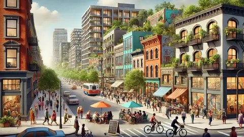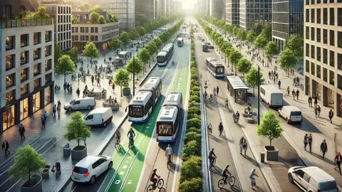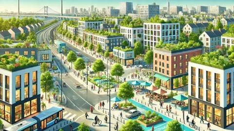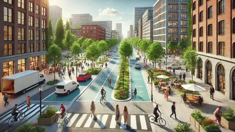
Urban mobility is the set of journeys that make life in a city possible, going to work, to school, to the doctor, to the shops, to see someone, and the way the city organises them decides how much time, money, health and space it costs to live there. For seventy years that organisation revolved around the car; since the 1990s, the cities that work best have inverted it: pedestrians first, then bicycles, then public transport and the car last.
This guide explains why motorways do not cure congestion, what the inverted mobility pyramid is, what Carlos Moreno's 15-minute city proposes and what critiques it receives, what free parking really costs, how the pandemic changed travel and what Pontevedra, Paris, Amsterdam or Bogotá have done. At the end it links the channel's videos on public transport, cycling, cars, pedestrians and walkability.
Why motorways do not cure congestion: induced demand
Intuition says that if a road is saturated it should be widened. The evidence has said the opposite for half a century: every new lane fills within a few years with trips that were not made before. Anthony Downs called it in 1962 the fundamental law of congestion, and Gilles Duranton and Matthew Turner confirmed it in 2011 with data from American cities: 10 % more motorway kilometres produce 10 % more kilometres driven. That is induced demand: new capacity makes driving cheaper and people respond by travelling farther and more often.
The mechanism is the travel time budget that Yacov Zahavi and Cesare Marchetti described: people devote on average about an hour a day to travel, in any era and any city, so when transport gets faster they do not save time but go farther. The city spreads at the pace of its infrastructure, and sprawl demands more infrastructure. That is why the metropolises with the most motorway per resident, Houston, Atlanta, Los Angeles, are also those that spend the most hours in the car.
Induced demand also works in reverse, and that is the most useful finding: when road capacity is removed, part of the traffic disappears instead of relocating. The demolition of the elevated Cheonggyecheon expressway in Seoul in 2003, the closure of San Francisco's Embarcadero after the 1989 earthquake and Europe's pedestrianisations showed that traffic evaporates when it runs out of space. The lesson is that traffic is not a liquid to be channelled but a gas that fills the volume it is given.
The inverted pyramid: pedestrians, bicycles, public transport and cars
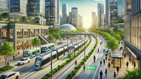
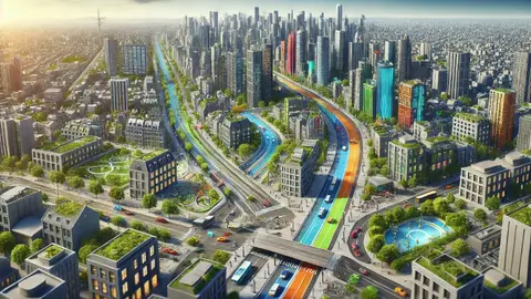
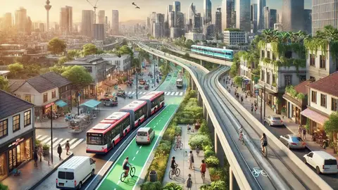
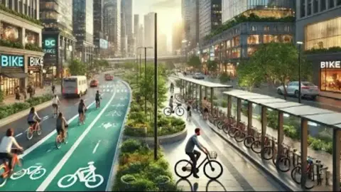
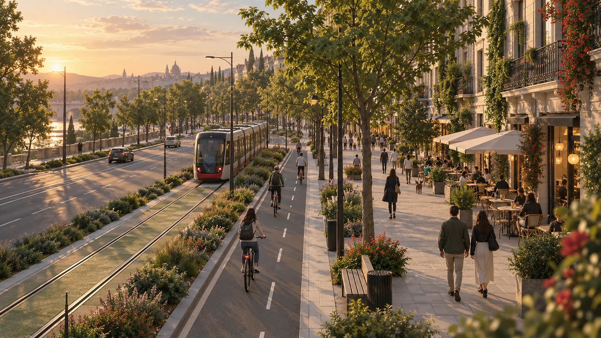
The mobility pyramid is the order of priority a city gives each mode of transport in the distribution of space and investment. The twentieth-century city put the car at the top: wide roadways, mandatory parking, traffic lights timed for motor flow and leftover pavements. The inverted pyramid, adopted by Copenhagen, Amsterdam, Pontevedra and ever more cities, places pedestrians at the top, then bicycles, then public transport, then freight and the private car last.
It is not a moral hierarchy but one of efficiency. One motorway lane moves about two thousand people an hour by car; the same space moves seven to nine thousand by bus, up to fourteen thousand by bicycle and more than twenty thousand on foot. The car is the mode that consumes the most space per person carried, pollutes most and kills most: road crashes are the leading cause of death among young people worldwide. Prioritising efficient modes does not take away freedom but shares a scarce space according to what it yields.
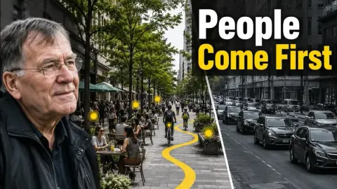
Jan Gehl formulated the design version of that pyramid: life first, then space, then buildings. His method, measuring who passes, who stays and what they do on a street, turned Copenhagen from 1962 into the laboratory of the city for people, and his studies led New York to close Times Square to traffic in 2009. The cities that apply the inverted pyramid do not eliminate the car: they put it in its place.
The 15-minute city: what Carlos Moreno proposes and what it is criticised for
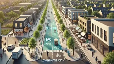
The 15-minute city is the proposal of the Colombian-French professor Carlos Moreno, of the Sorbonne, formulated in 2016 and adopted by the mayor of Paris Anne Hidalgo in her 2020 programme: that the six basic functions of urban life, living, working, supplying, caring, learning and enjoying, be within a quarter of an hour on foot or by bicycle of every home. It rests on three ideas, chrono-urbanism, which measures the city in time rather than metres, chronotopia, which gives a place several uses at different hours, and topophilia, attachment to the neighbourhood.
The idea is not new, and Moreno acknowledges it: it comes from Clarence Perry's neighbourhood unit of 1929, from Jane Jacobs's human scales and from the compact European city. What is new is the formulation in time, which makes the proposal measurable, and the moment: the 2020 pandemic forced millions of people to live in their neighbourhood and showed which ones worked and which did not. The C40 network adopted it in its recovery plan, and Melbourne, Bogotá, Milan or Portland have adapted it with their own distances.
The critiques are of two kinds. The serious one says the 15-minute city describes neighbourhoods that already have everything, the rich, dense centres, and that in the sprawling peripheries where most people live there are no shops or jobs to bring closer without enormous investment; that it may make the neighbourhoods that achieve it more expensive; and that employment is not distributed by decree. The other, which arose in 2023 on conspiracy forums and reached demonstrations in Oxford, presents it as a plan to lock people into zones, a reading unrelated to the proposal. Moreno answers the first that proximity is an equity policy to be brought to the peripheries, and the second with patience.
Parking: the invisible subsidy to the car
No mobility policy can be understood without parking, and nobody studied it like Donald Shoup, the UCLA economist who died in 2025. In The High Cost of Free Parking (2005) he showed that in the United States there is more parking area per car than housing area per person, that the parking minimums city ordinances impose on every building make housing more expensive and spread the city out, and that everyone pays that extra cost, whether they drive or not: those without a car pay for the garages of those who have one.
The mechanism is a self-fulfilling prophecy: parking demand is measured where parking is free, that peak is turned into a mandatory rule and thus space is guaranteed always to be in surplus and never charged for. A UCLA report with 2025 data from seventeen American cities puts construction costs at 73,000 dollars per underground space and 52,000 above ground, and mid-sized North American cities devote more than a third of their downtown land to parking.
Shoup's three reforms have already been applied in dozens of cities: charging for street parking the price that always leaves one or two spaces free per block, returning that revenue to the neighbourhood in pavements, trees and lighting, and abolishing parking minimums so that each developer builds what its market asks for. Buffalo abolished them in 2017 and developers built about half the spaces the previous rule required; more than a hundred cities, from Minneapolis to Mexico City and Auckland, have followed the same path.
Public transport, cycling and walking: what works at each scale
Public transport is the backbone of any large city, and its performance depends on three things: frequency, which matters more than speed because it eliminates waiting and the need to check timetables; network, that is, lines that cross and allow going from anywhere to anywhere with one transfer; and priority, dedicated lanes and signals that take it out of the jam. Robert Cervero showed in The Transit Metropolis (1998) that the cities where public transport wins are those that align their urban form with the network: density and mixed uses next to stations.
Cycling is the mode that has grown most in European cities in twenty years, and the evidence is consistent: where there are protected, continuous lanes people cycle, and where there is paint on the roadway they do not. Amsterdam and Copenhagen were not born cycling cities; they decided to become them in the 1970s after protests against children's deaths on the road. Paris has built since 2020 a network of lanes that has multiplied bike trips, and Seville went from 0.5 % to 6 % of trips by bike in four years by building eighty kilometres of segregated lanes at once.
Walking is the forgotten mode and the most important: almost every trip begins and ends on foot, and a walkable city, with wide pavements, frequent crossings, ground-floor shops and shade, is the condition of everything else. Jeff Speck summed up in Walkable City (2012) the four conditions, that the walk be useful, safe, comfortable and interesting, and Pontevedra applied all of them: since 1999 it has pedestrianised its centre and extended reduced speeds, raised crossings and continuous pavements to the neighbourhoods, has cut pedestrian deaths to zero and today more than half of its children aged seven to twelve walk to school.
Cases: Pontevedra, Paris, Bogotá, Amsterdam and Oslo
Pontevedra is the Spanish reference case: a city of eighty thousand that inverted the mobility pyramid in 1999, pedestrianised its centre, limited speed to thirty kilometres per hour across the whole city, built park-and-ride lots at the edge and organised school routes with local police, shops and residents. Traffic in the centre fell by more than 90 %, there have been no pedestrian deaths in two decades and the local shops that feared pedestrianisation now defend it.
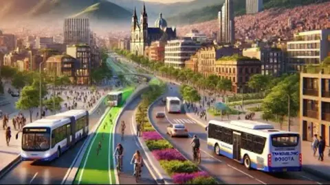
Paris has made in ten years the fastest transformation of a large capital: closure of the expressways on the banks of the Seine, more than a thousand kilometres of cycle lanes, removal of seventy thousand surface parking spaces, school streets closed to traffic and a 2024 referendum to triple parking charges for SUVs. Bogotá invented in 2000 the TransMilenio, the bus rapid transit with its own lanes and stations that has been copied in two hundred cities, and has kept since 1974 the Sunday Ciclovía that closes more than a hundred kilometres of streets to cars.
Amsterdam has removed in the last decade thousands of parking spaces to give them to bikes, trees and terraces, and Oslo removed almost all parking spaces from its centre between 2016 and 2019, with the result of zero pedestrian and cyclist deaths in 2019. None of those cases was easy or unanimous, and all followed the same order: first give the space back to people and then, once people used it, the resistance dissolved.
How a city's mobility is changed: the order of the measures
Research and the cases agree on a sequence. First, speed: limiting residential streets to thirty kilometres per hour, which halves deaths and halves noise without any construction, as Bilbao, Paris and Brussels did. Second, space: continuous pavements, protected cycle lanes and bus lanes, taken from surface parking before the roadway. Third, price: charging for street parking and abolishing minimums, so that the car pays for the space it occupies.
Fourth, public transport with frequency and network before new lines; fifth, proximity, bringing shops, schools and health centres to the peripheries that lack them, which is where the 15-minute city makes sense; and sixth, urban form, allowing density and mix next to stations so that public transport has someone to serve. The sprawling periphery is the hardest problem, because there the car is today the only option, and penalising it without an alternative punishes those who have least.
What the evidence rules out is the reverse order: widening first and promising transport later, or waiting for the electric car to solve the problem. The electric car reduces tailpipe emissions and nothing else: it takes up the same space, kills the same and needs the same parking. A city's mobility is changed by sharing the street differently, and that decision is political, not technical.
Frequently asked questions
- What is the 15-minute city?
- Carlos Moreno's proposal, adopted by Paris in 2020, that the basic functions of urban life, living, working, supplying, caring, learning and enjoying, be within a quarter of an hour on foot or by bicycle of every home; it rests on chrono-urbanism, which measures the city in time, and its challenge is to bring proximity to the peripheries that lack it.
- Why does widening a road not reduce congestion?
- Because of induced demand: new capacity makes driving cheaper and people respond by travelling farther and more often, so every lane fills within a few years; Duranton and Turner measured that 10 % more motorway produces 10 % more kilometres driven. Conversely, when capacity is removed, part of the traffic disappears.
- What is the inverted mobility pyramid?
- The order of priority that puts pedestrians first, then bicycles, then public transport, then freight and the private car last in the distribution of space and investment; it is based on the efficiency of each mode, because the car consumes the most space, pollutes most and kills most per person carried.
- What does free parking cost?
- According to Donald Shoup, parking minimums make housing more expensive and spread the city out, and everyone pays that cost, whether they drive or not; a UCLA report with 2025 data puts each underground space at 73,000 dollars and each structured space at 52,000. More than a hundred cities have already abolished those minimums.
- Does the electric car solve urban mobility?
- No: it reduces tailpipe emissions, but it takes up the same space, produces the same congestion, kills the same in collisions and needs the same parking. Urban mobility is changed by sharing the street differently, not by changing the engine in cars.